Urban Grammar
Decoding the socio-economic landscape with satellite imagery
Universidad de Zaragoza
@darribas
|
@martinfleis
|
|
|
|
|
This talk…
… is not (directly) about migration, climate change, or economic development
… is about using different data (📡 🌎) to study socio-economic systems
… uses cities as a useful illustration, but “the sky is the limit”
Cities and …
|
Climate
|
Development Urban Economics |
Migration
|
Cities and …
|
|

|
Why satellite data?
- Low (marginal) cost
- Near real-time
- Ripe for disruption
i.e., this is our “20-year-big-thing”…
But…
- Unstructured
- Big
- Only measure what can be “seen”
Why satellite data?
|
|

|
|
|
|
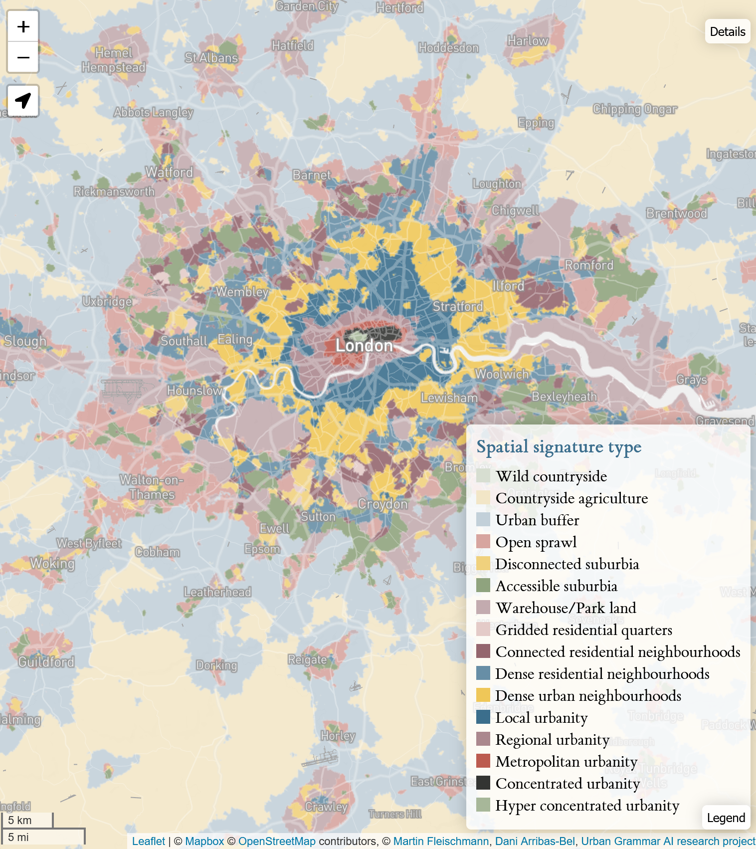
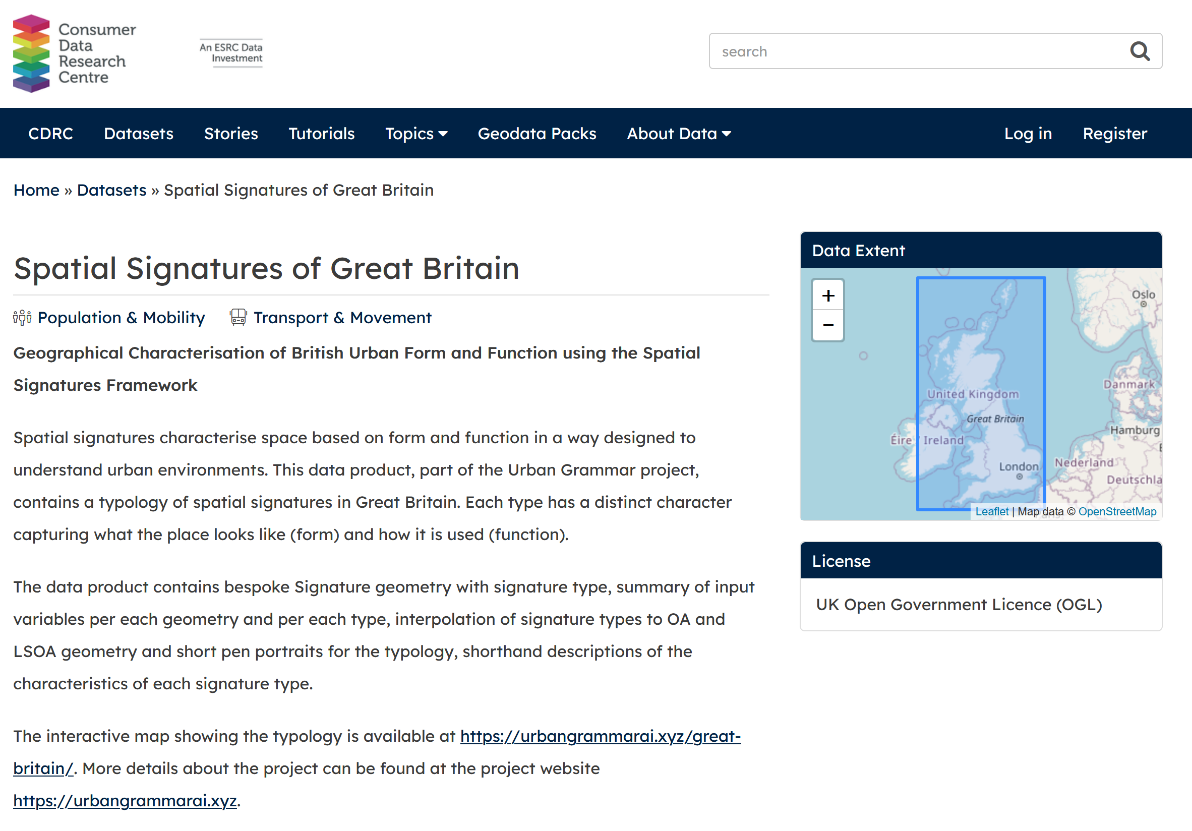
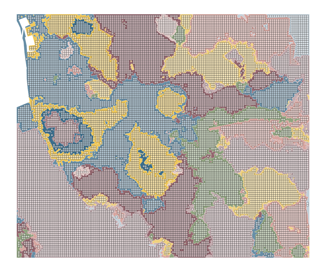
British Signatures
|

|
Experiment’s dimensions
Chip size
 [74%] |
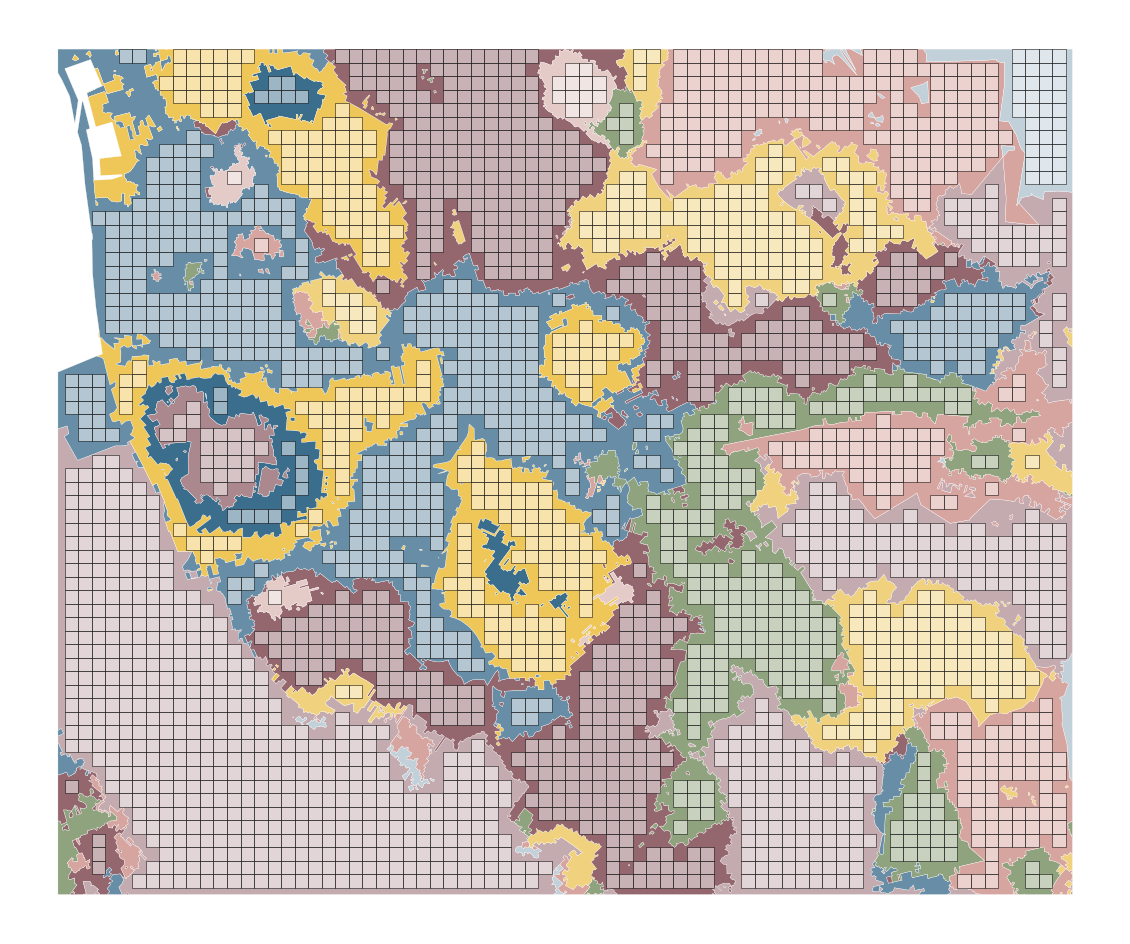 [57%] |
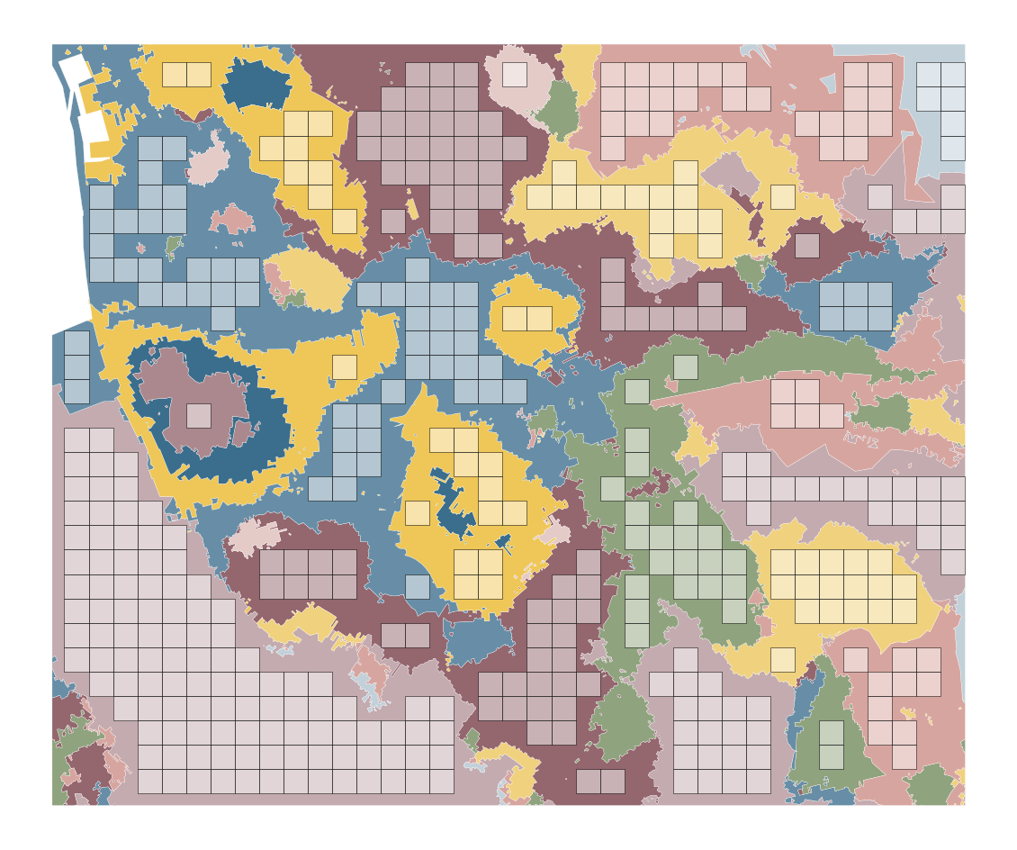 [35%] |
 [13%] |
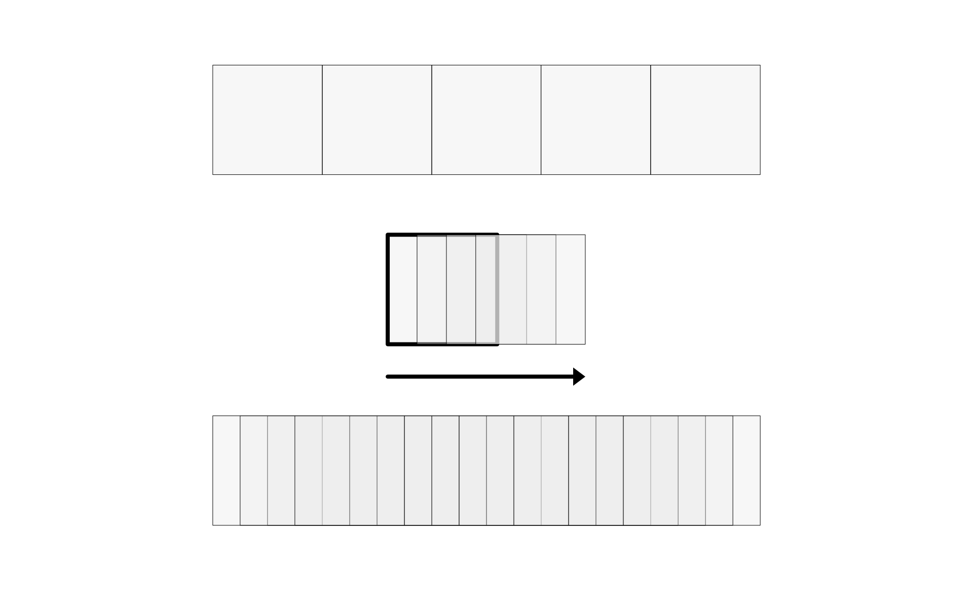
(Spatial) data augmentation
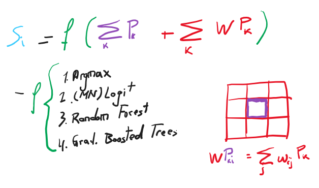
Model architecture
|
|
|
Evaluation
|
|
Summarisation 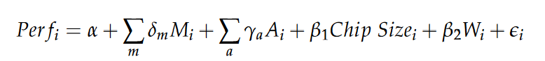
|
Wrap up
Wrap up

Wrap up
- We need to measure cities more, more frequently
- We can thanks to the 📡 🌎 + 💻 + 🤖 combo
- How is still W.I.P., but with a stress on the P
Urban Grammar
Decoding the socio-economic landscape with satellite imagery
Universidad de Zaragoza
@darribas
|
@martinfleis
|
|
|
|
|
Appendix
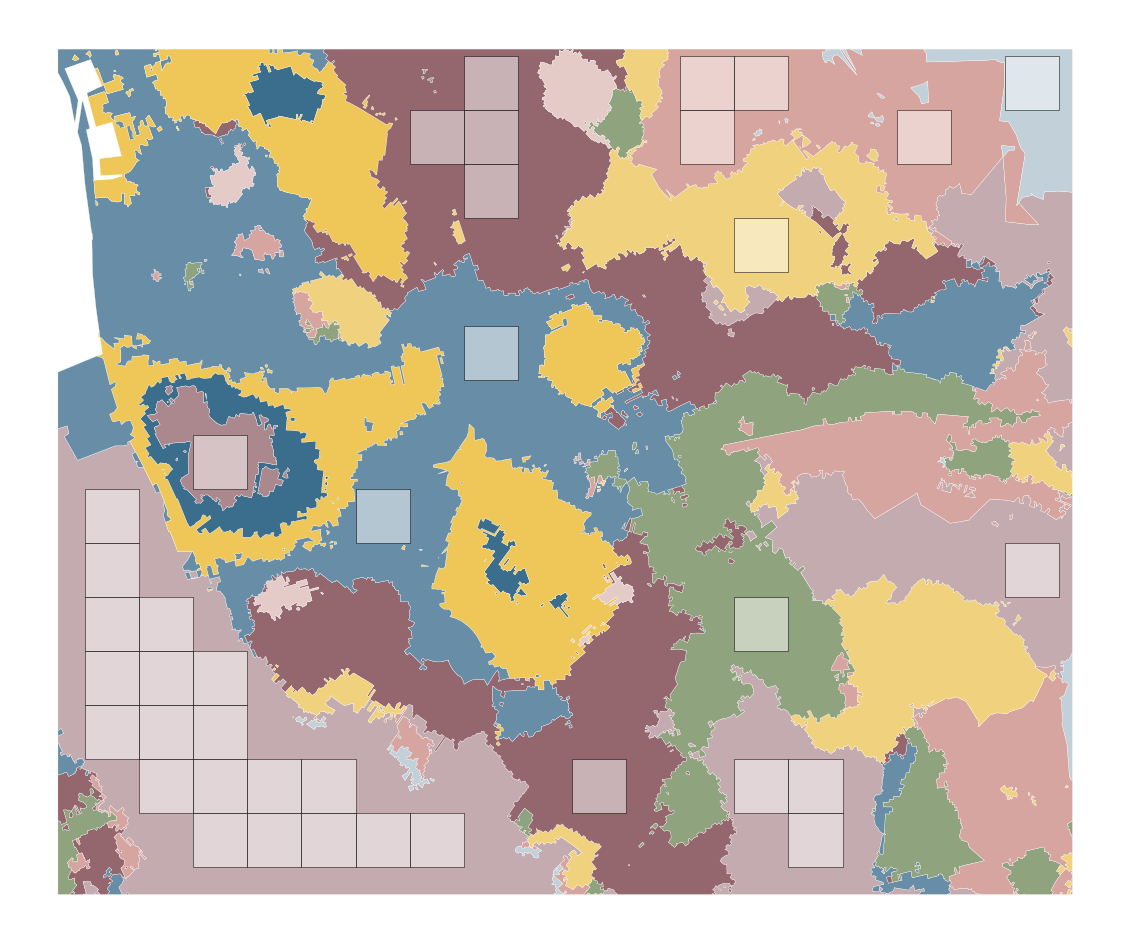
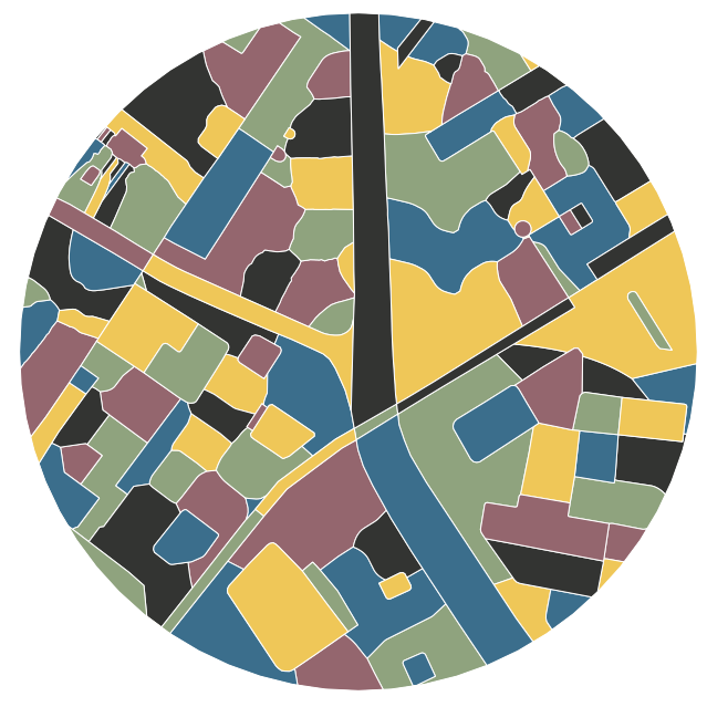
Building Spatial Signatures
|
|
|
|

|

|

|
 +
+

|
|

|

|
|
|
Meaningful spatial units
|
|
|
|
Hierarchy

|
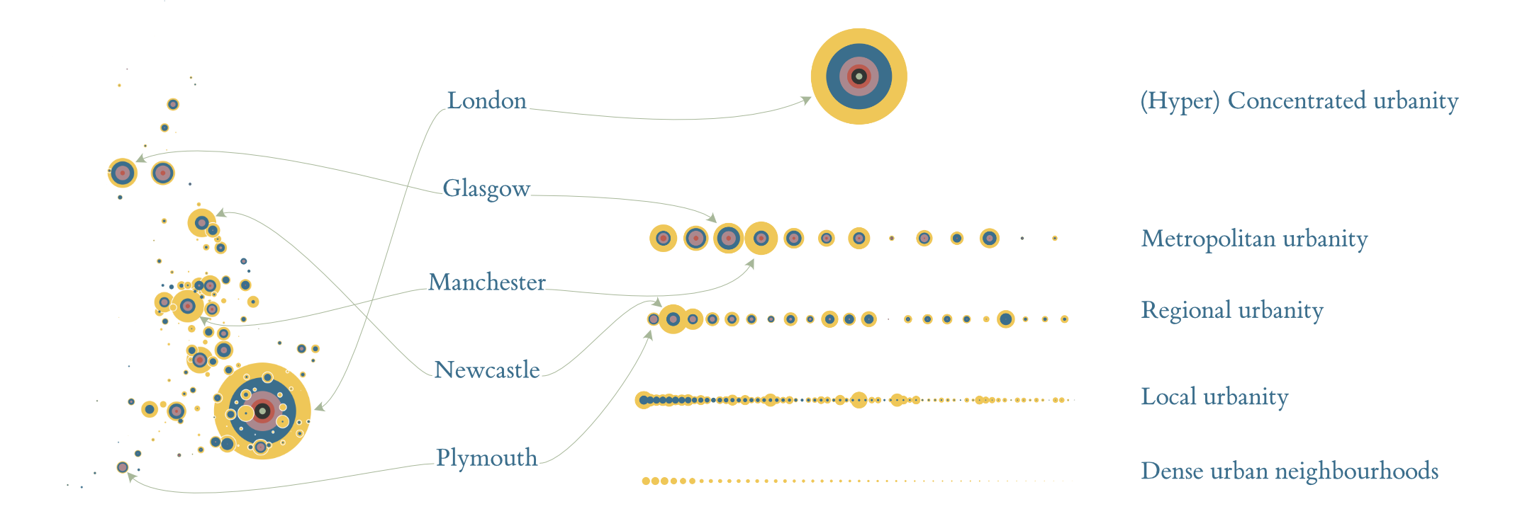
|
Sub-classifications


|
|