“Open by Default”
Developing reproducible, computational research
@darribas
|
@martinfleis
|
|
|
|
|

|
For example
Urban Grammar
+ Satellite imagery & AI
Needs
|

|
|
|
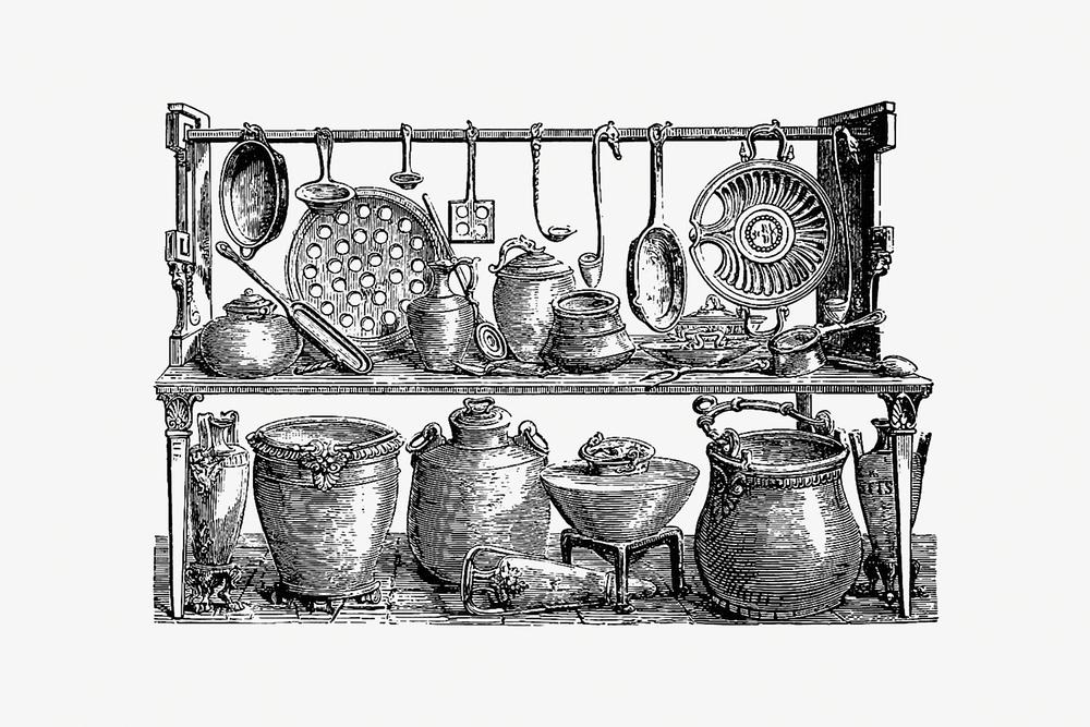
The kitchen
Data
- Standard (formats) better than niche
- Open better than proprietary
- Static better than DB
E.g., parquet, COGs
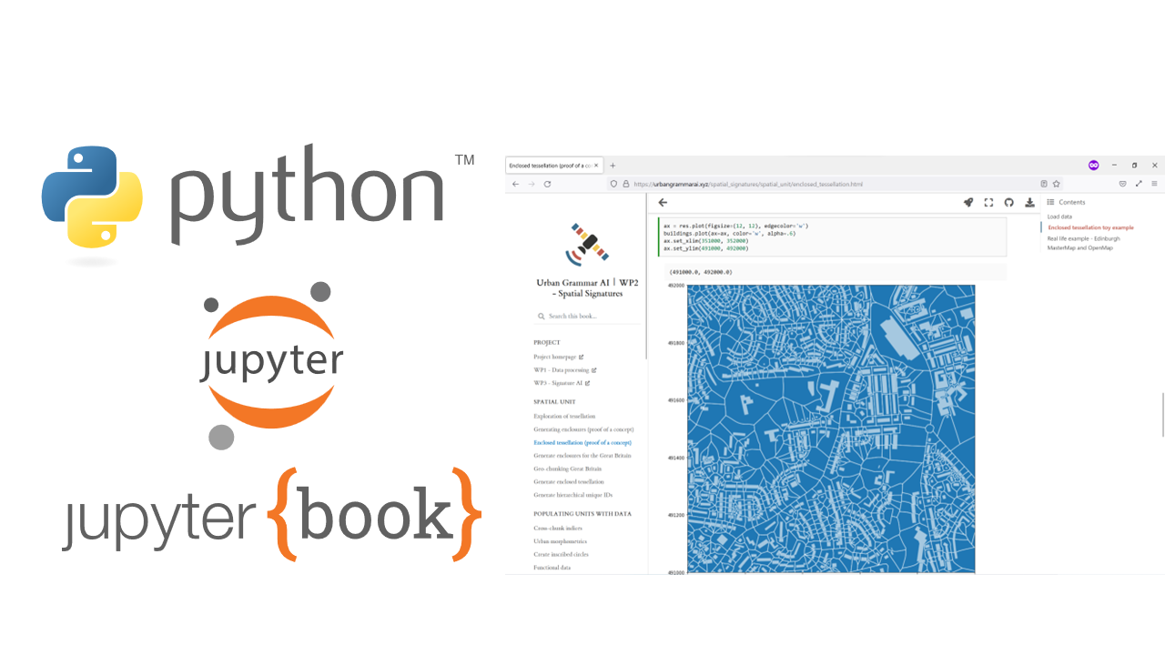
New methods
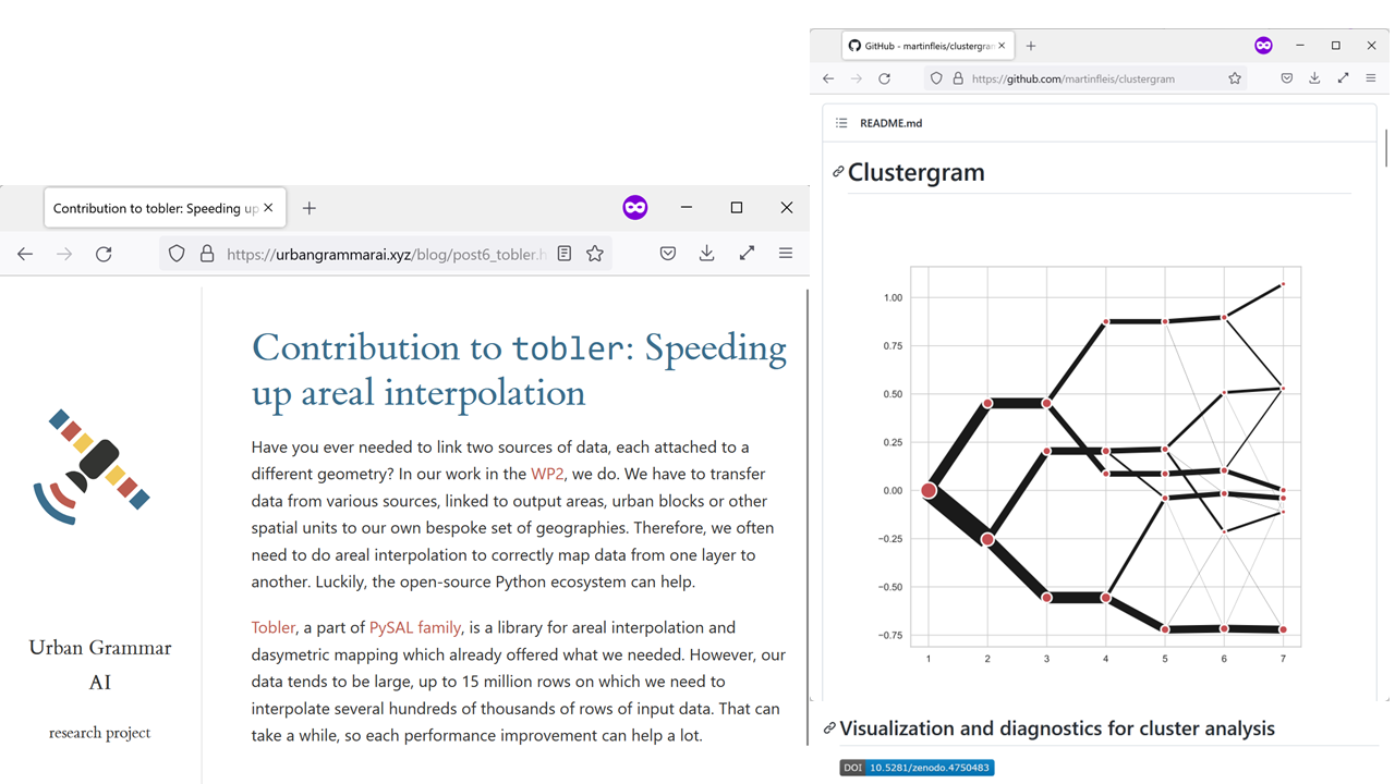
New code
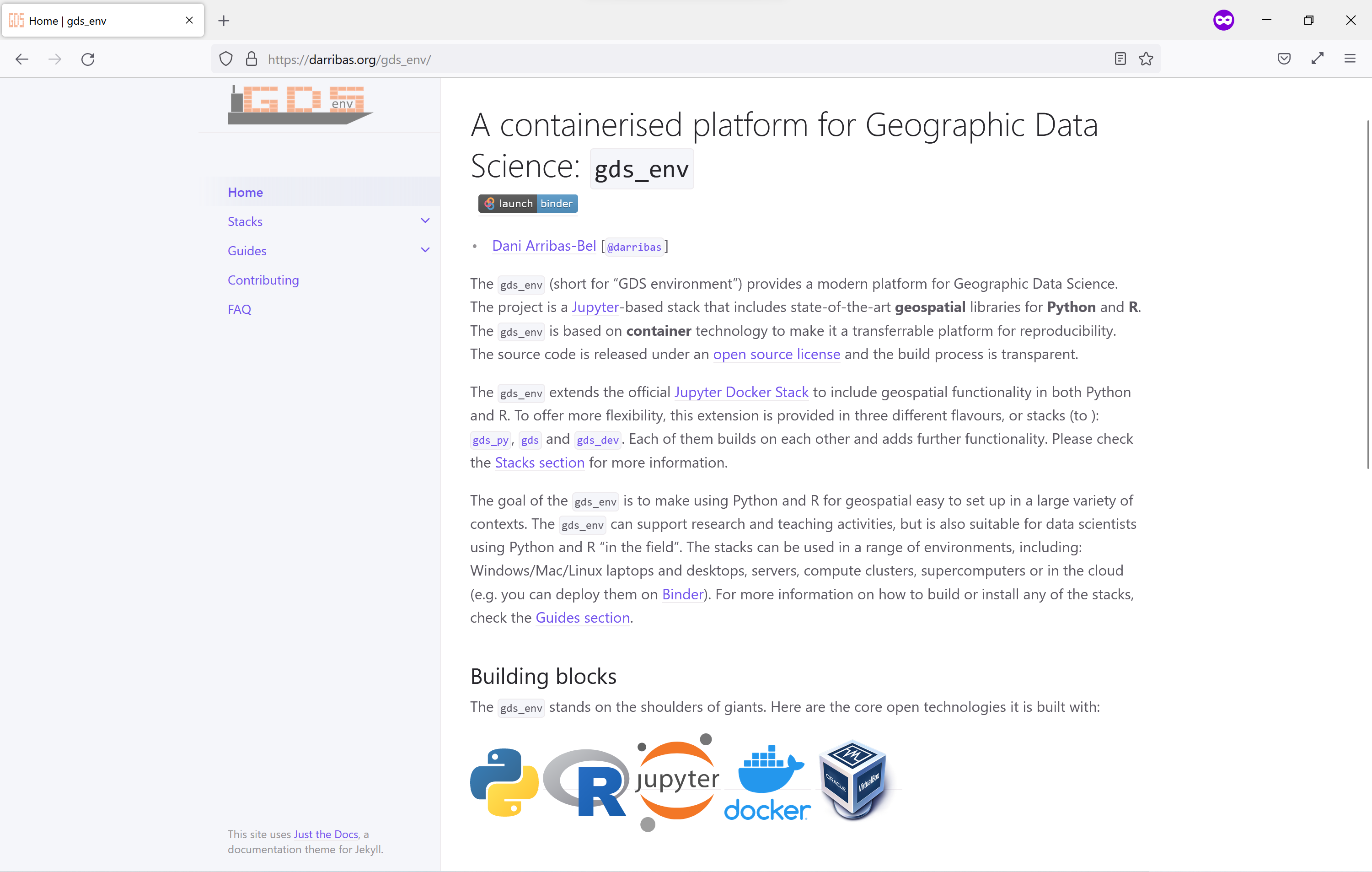
Infrastructure
… and the “sausage”
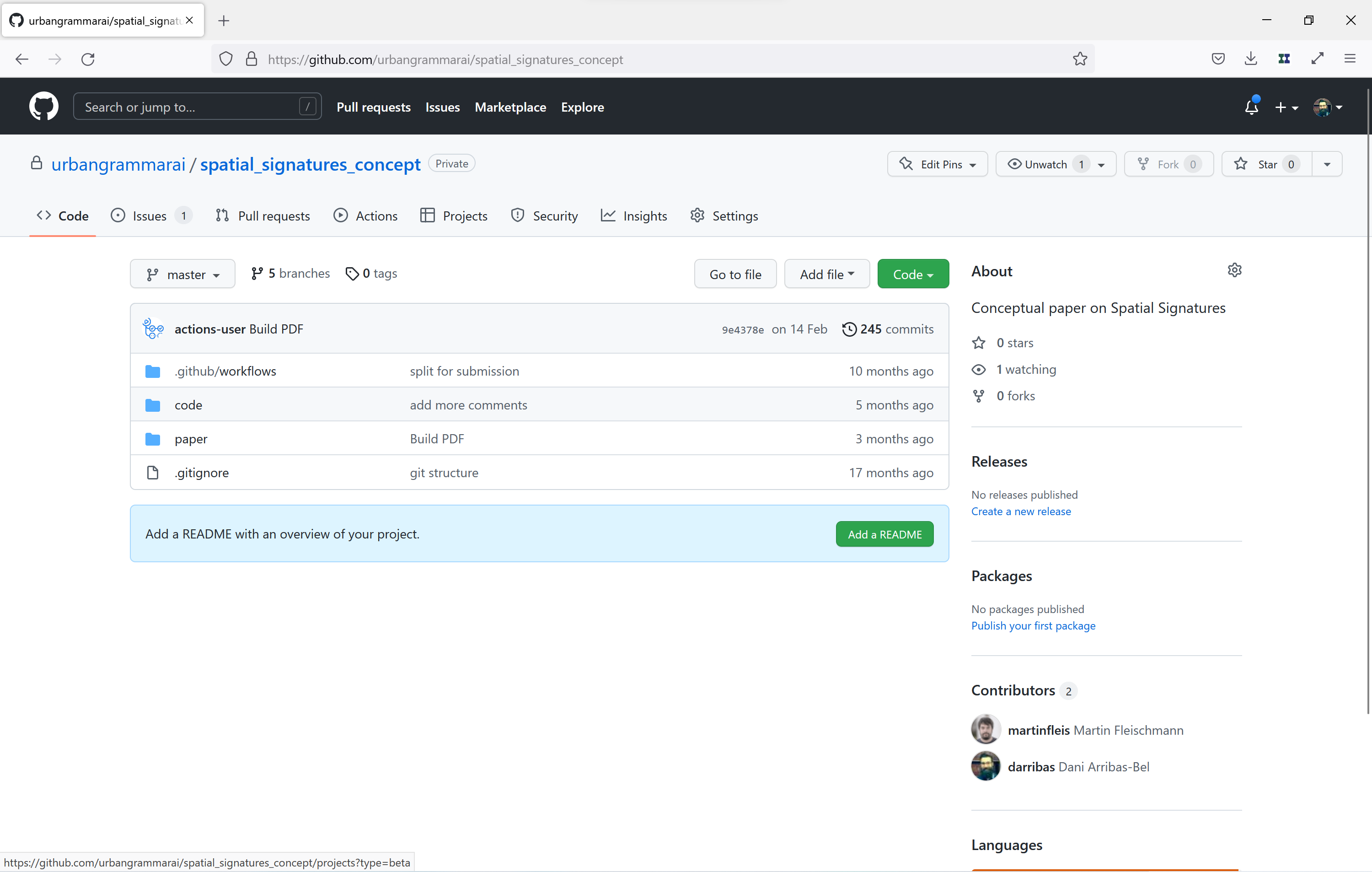
Dissemmination (I): Papers
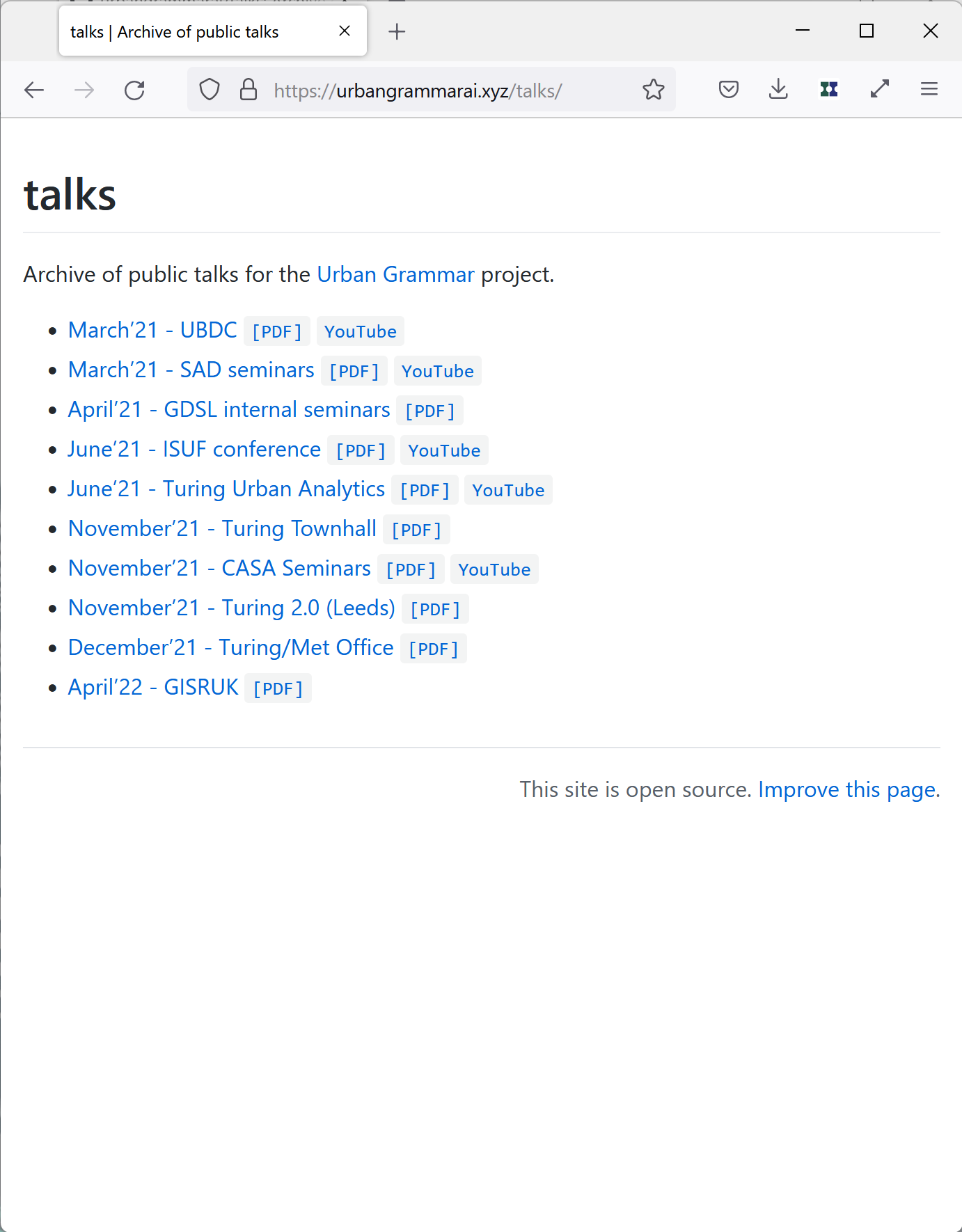
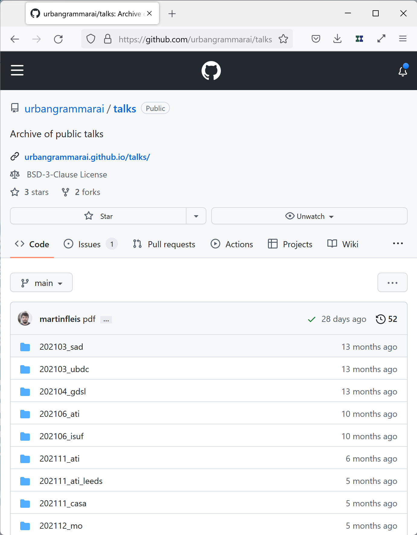
Dissemmination (II): Talks
|
|
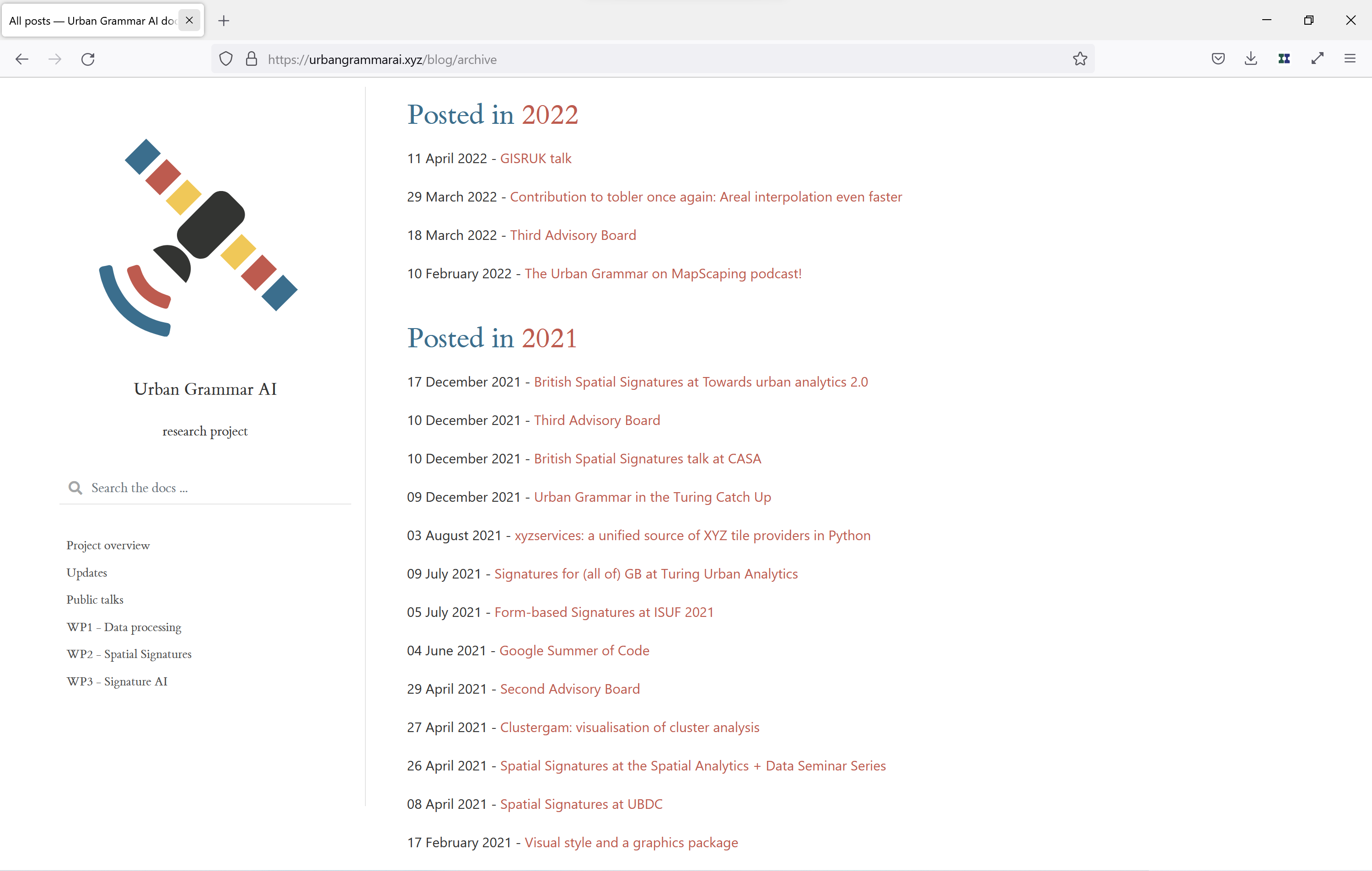
Dissemmination (III): Other
|
|
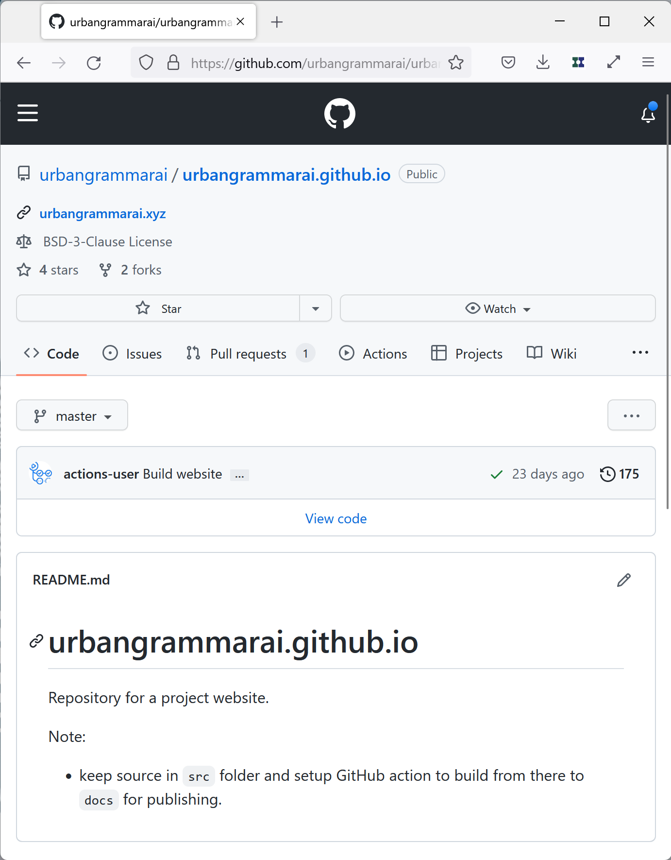
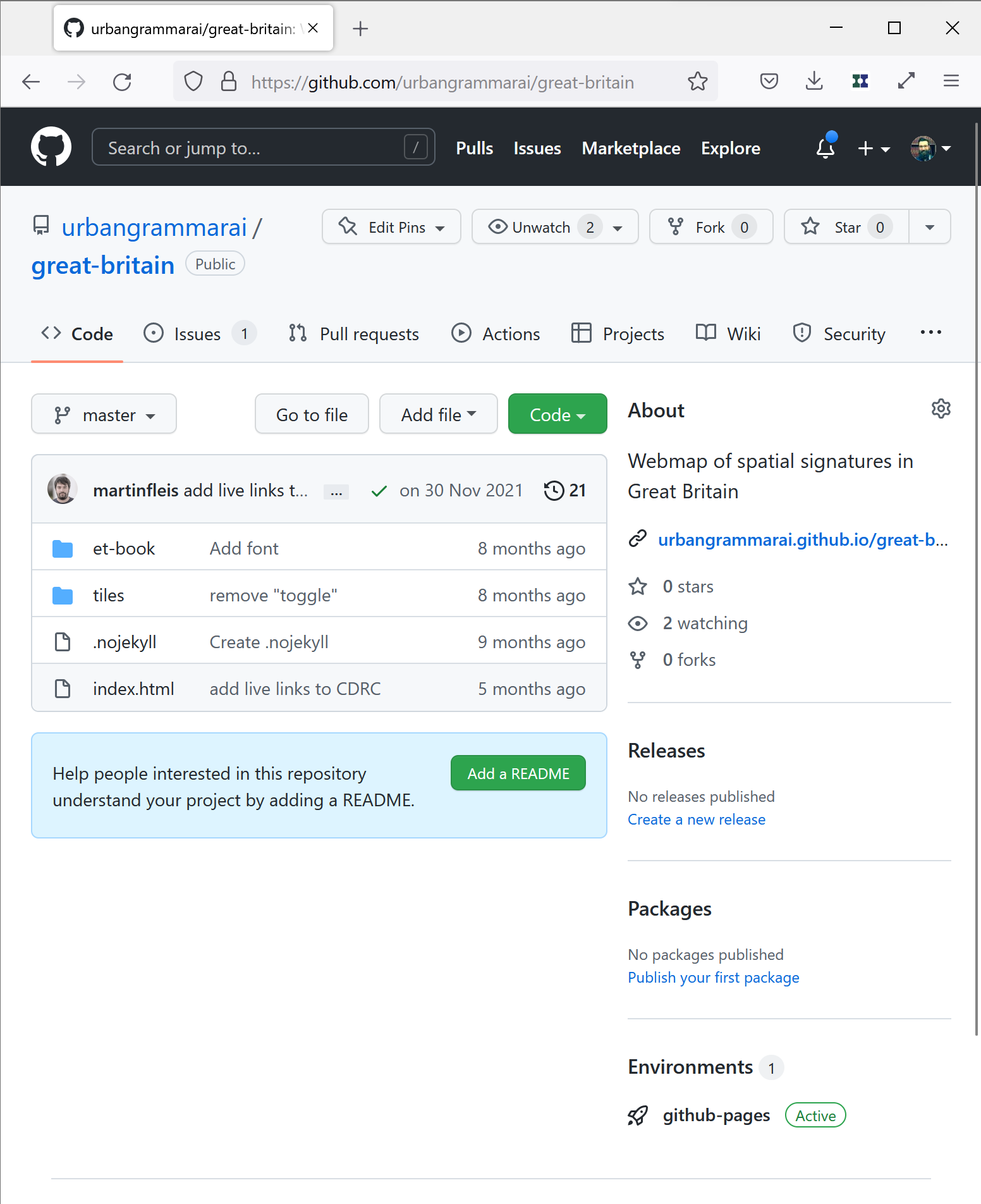
Open Data Products (I): Data

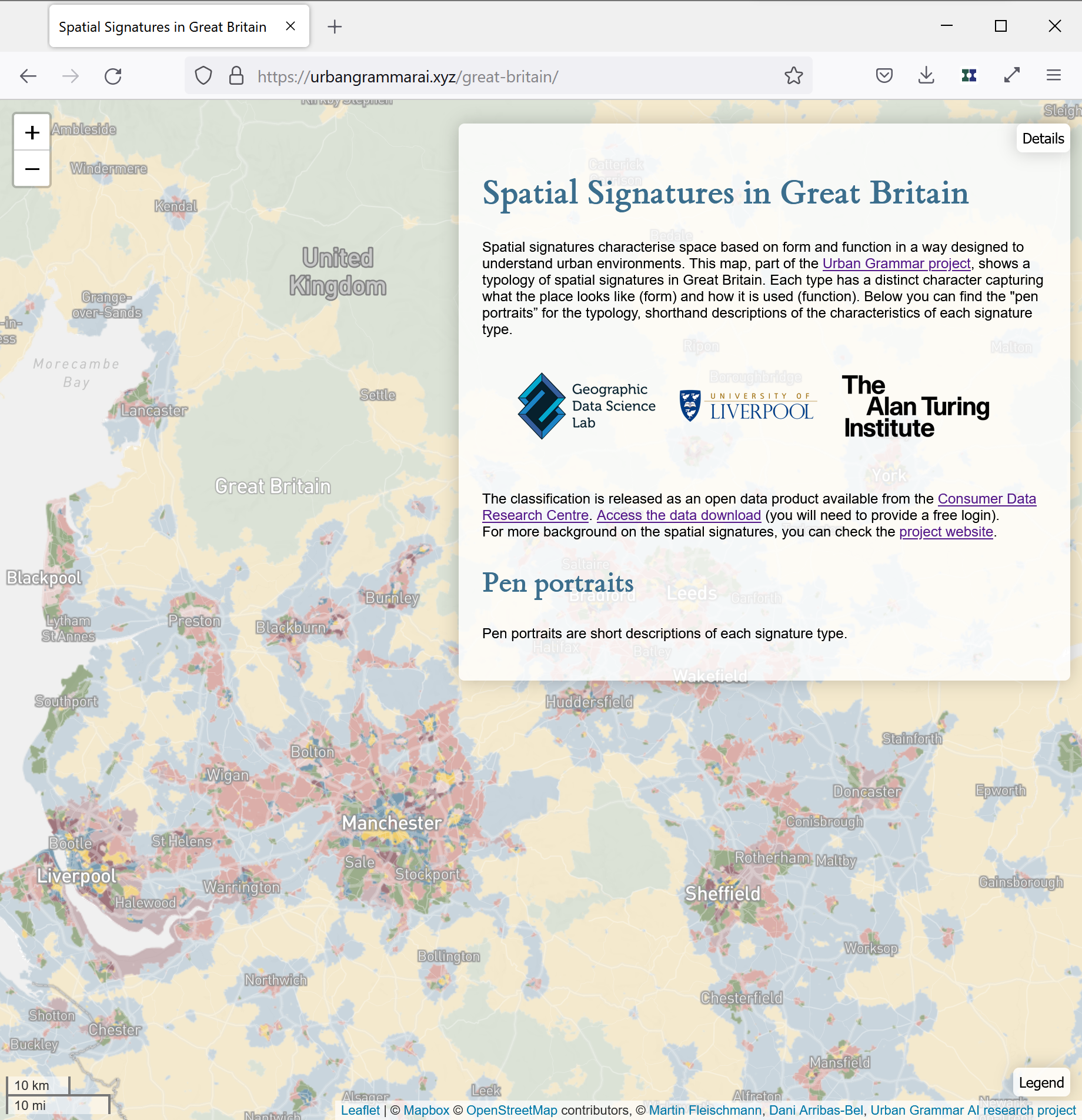
Open Data Products (II): Exploratory tools
|
|
“Open by Default”
Developing reproducible, computational research
@darribas
|
@martinfleis
|
|
|
|
|