Using deep learning to identify (urban) form and function in satellite imagery
The case of Great Britain
|
|
|
@darribas]
|
@martinfleis]
|
|
|
|
|
“The point”
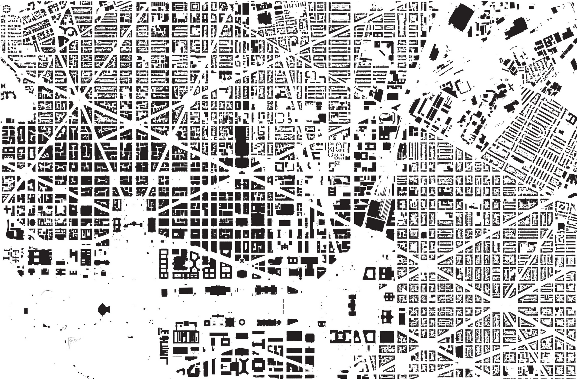
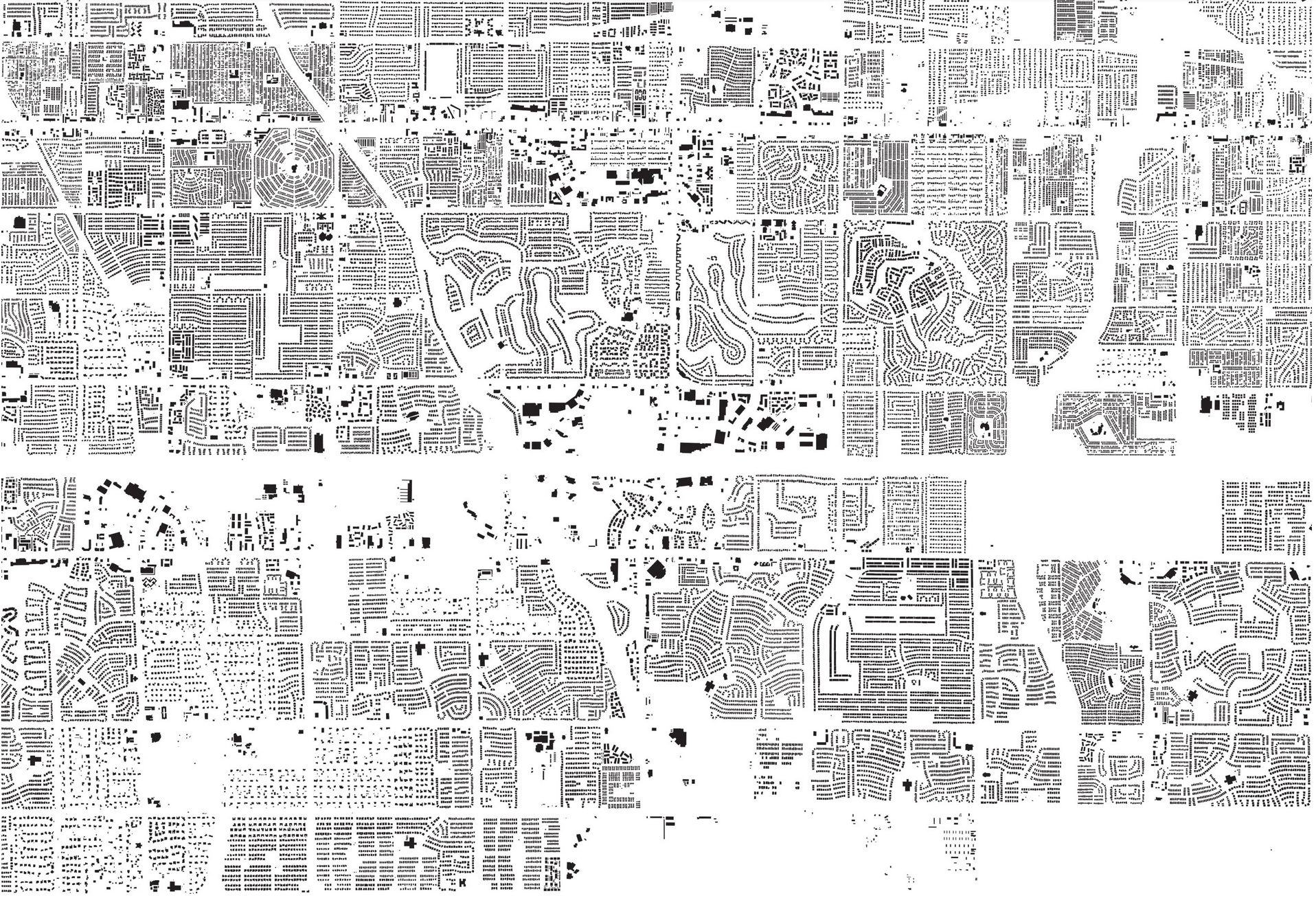
How we arrange “stuff” in cities matters…
|
|
Source: A map of every building in America (New York Times)
… it matters a lot
|
|
|

|

|

|
Form & Function
Form
Function

British Signatures
|
BRITISH SIGNATURES Countryside (3) Periphery (4) Urban (9)
|
|


94% (50%)
5% (40%)
1% (10%)
🛰
Sentinel 2
What do we want to do?
Exploration
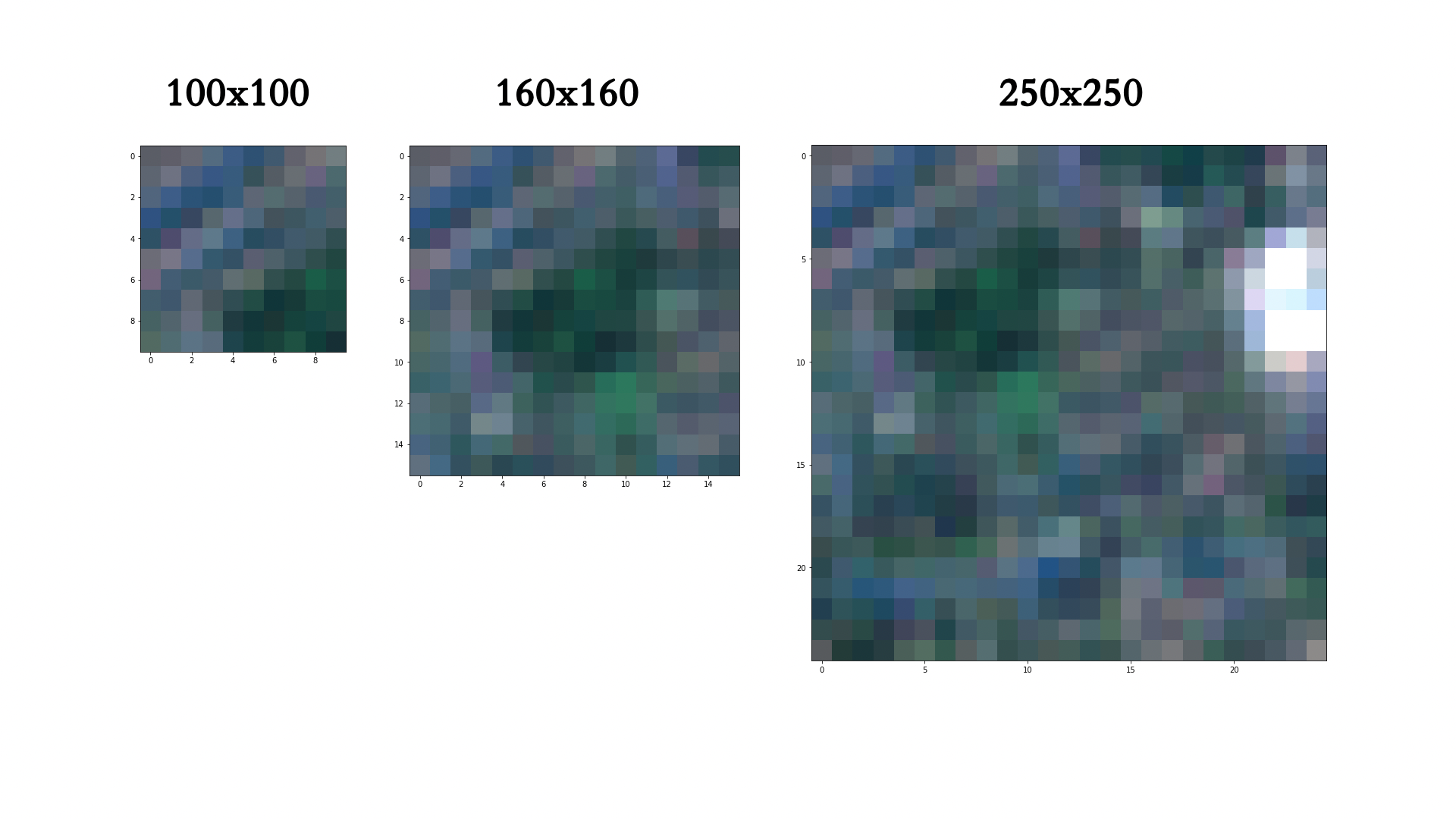
Chip size effect
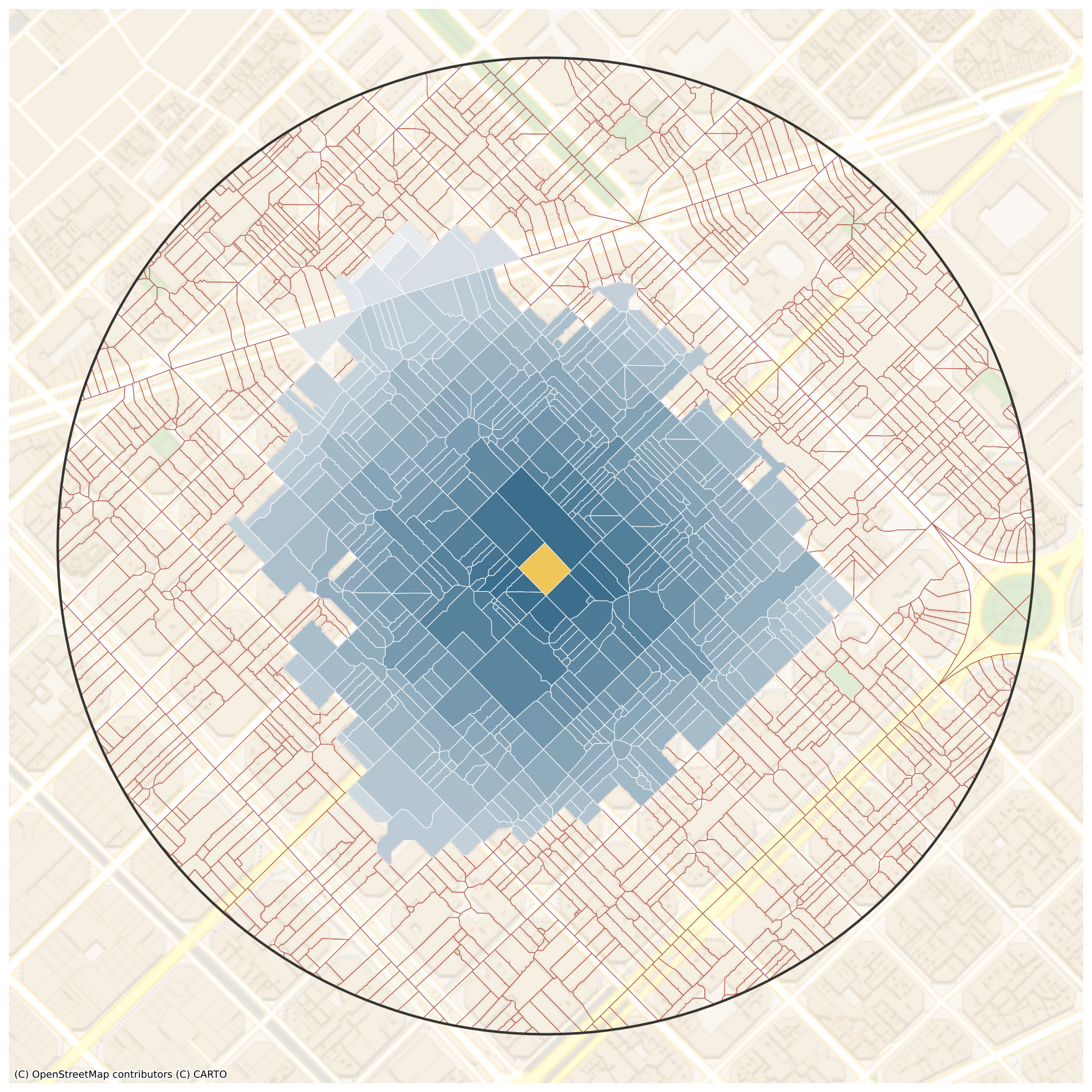
80x80m: 13760 chips, which is 74 % of maximum
160x160m: 2718 chips within, which is 57 % of maximum
320x320m: 423 chips within, which is 35 % of maximum
640x640m: 38 chips within, which is 13 % of maximum
320x320m, chips capturing the proportion (100% of maximum)
Current work
Image classification - Overall accuracy 42.8%
Multi-output regression - Overall accuracy 43.5%
Image classification - Wild countryside
Multi-output regression - Wild countryside
Image classification - Urbanity
Multi-output regression - Urbanity
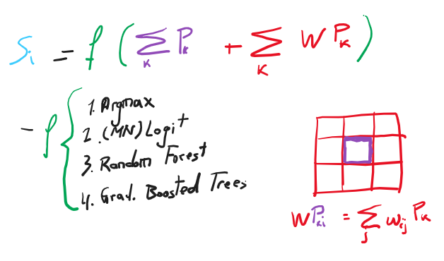
Probability modelling
*the accuracy is based on a different sample than in previous cases (WIP)
Using deep learning to identify (urban) form and function in satellite imagery
The case of Great Britain
|
|
|
@martinfleis]
|
@darribas]
|
|
|
|
|
|
|
|
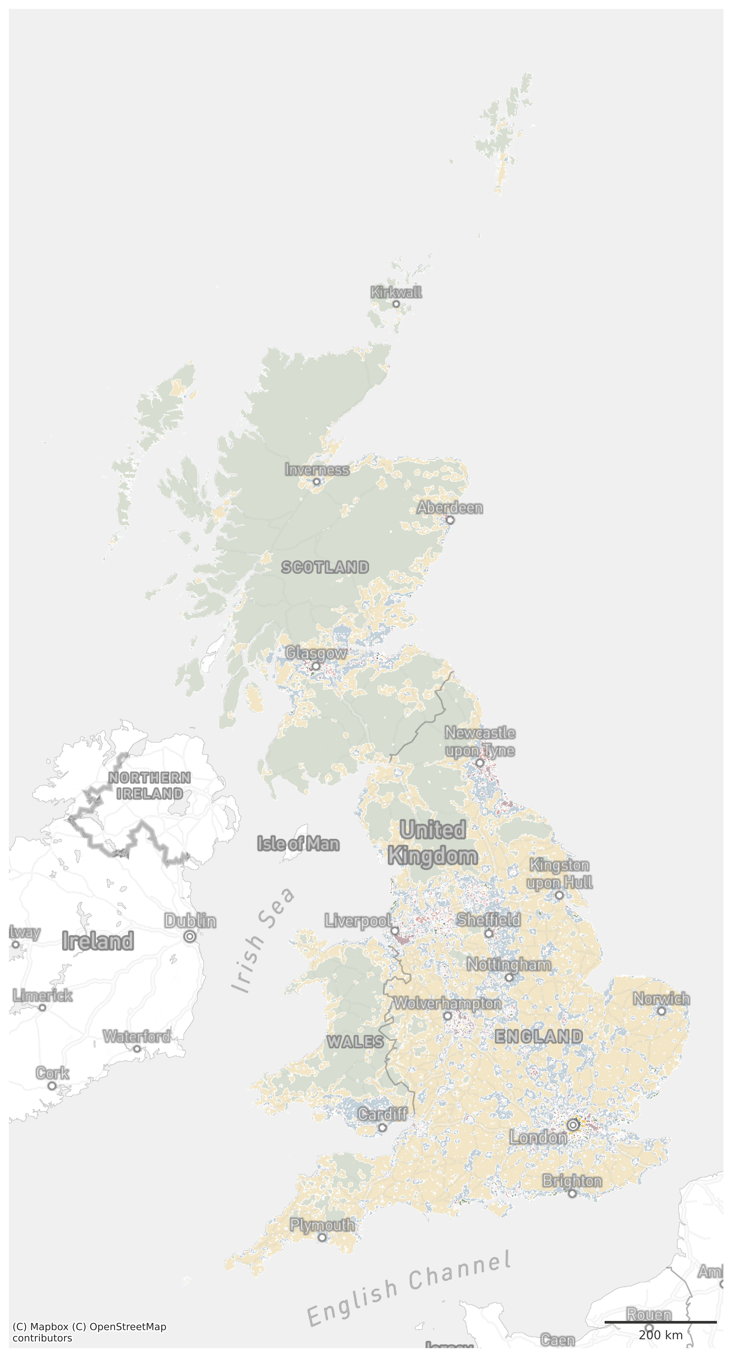
Great Britain
Characters
|
|
|
Context
Data
|
|
|