Spatial Signatures
|
|
|
@darribas]
|
@martinfleis]
|
|
|
|
|
“The point”
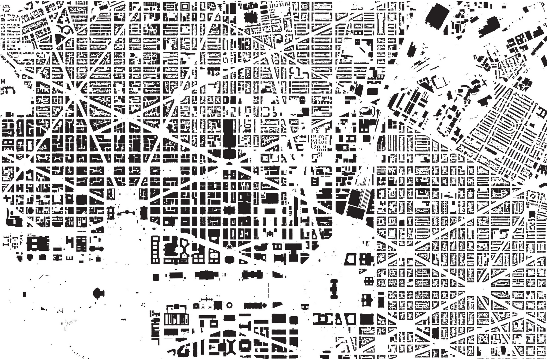
How we arrange “stuff” in cities matters…
|
|
Source: A map of every building in America (New York Times)
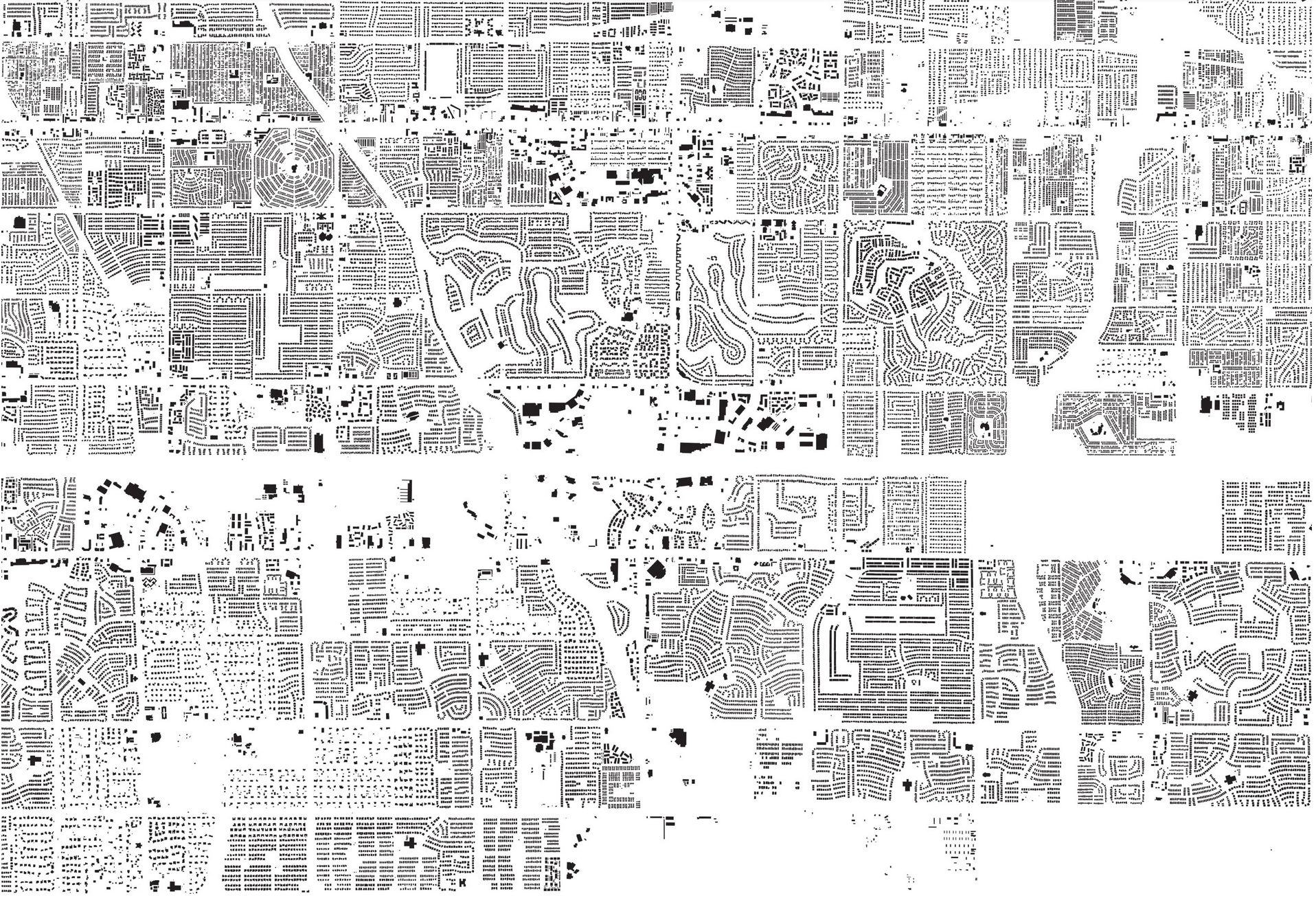
… it matters a lot
|
|
|
|
|
|
Form
Qualitative, quant. case studies, morphometrics, remotely sensed
Function
Geography, Economics, Sociology, Environmental Sciences, Tansport studies…
Form & Function
- Richer picture
- Topography, history, technology, cultural values…
- More robust representations
Opportunities
We don’t have good ways of measuring form & function in cities
Opportunities

Opportunities
Fragmented understanding
Physical classification - ??? - Geodemographics
Spatial Signatures
|
|
|
|

|
|
|
|
|
|
|

|
Characters
|
|
Context
|
|
|
|
|
|
|

|
Benefits
- Data-driven & (multidiscipline) theory-informed
- Granular & scalable
- Flexible deployment
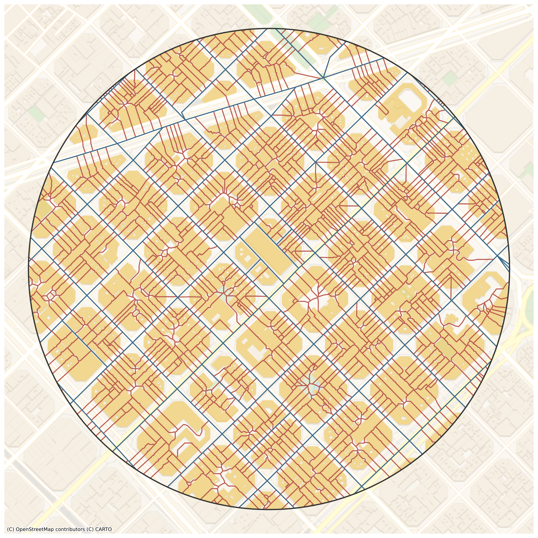
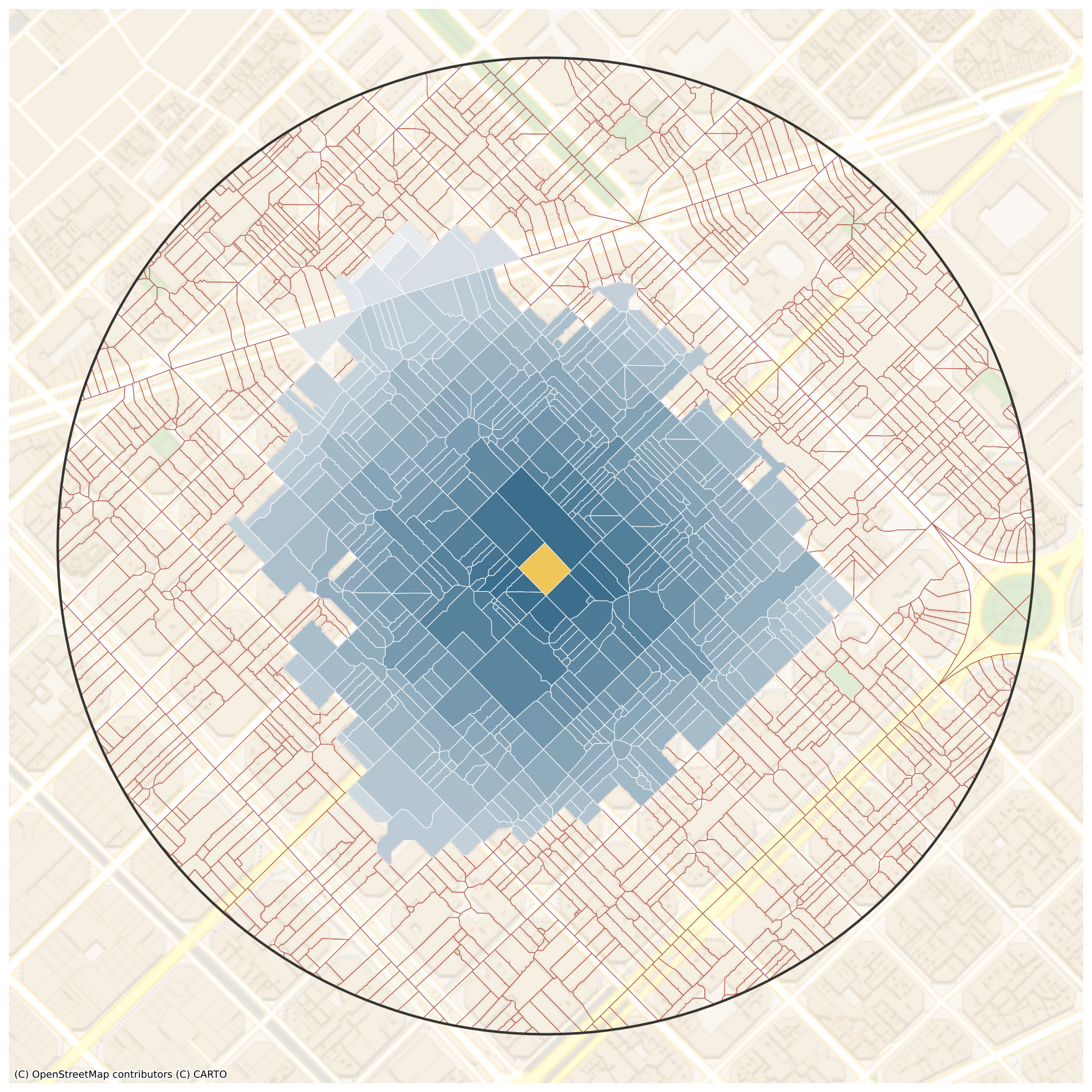
Illustration
The Setup
Five different cities
- Historical environments
- Geography & culture
- Data landscapes
The Cities

The Data
|
|
Clustered with K-Means + clustergram
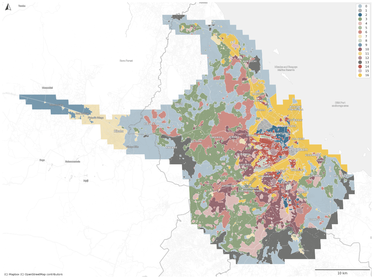
The Signatures
|
|
|
|
|
|
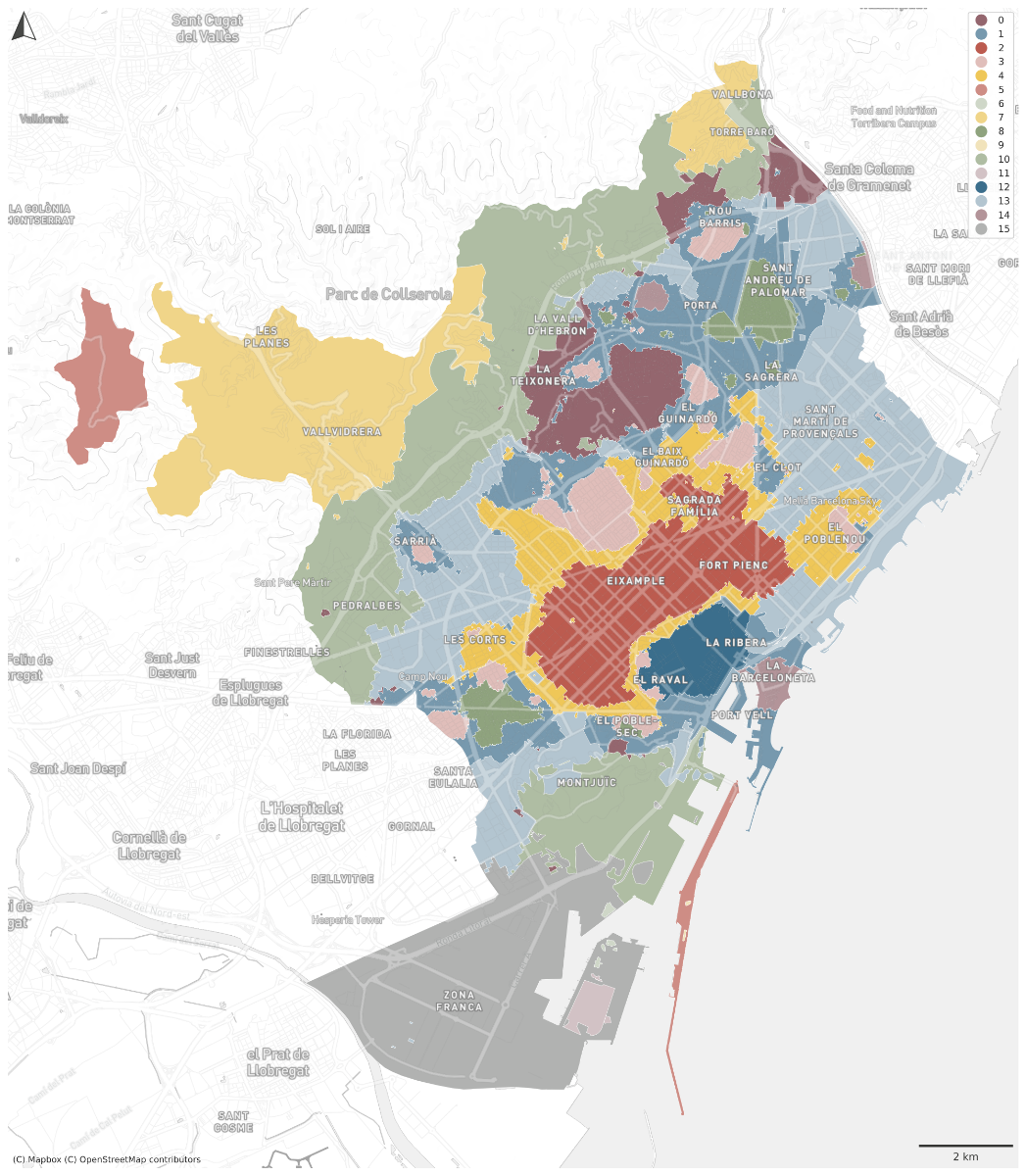
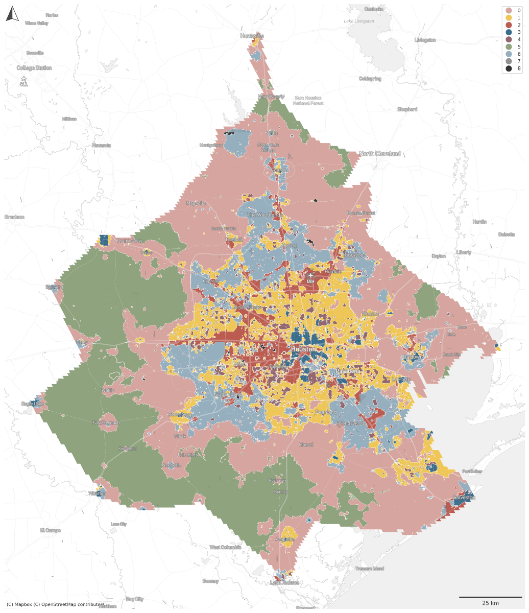
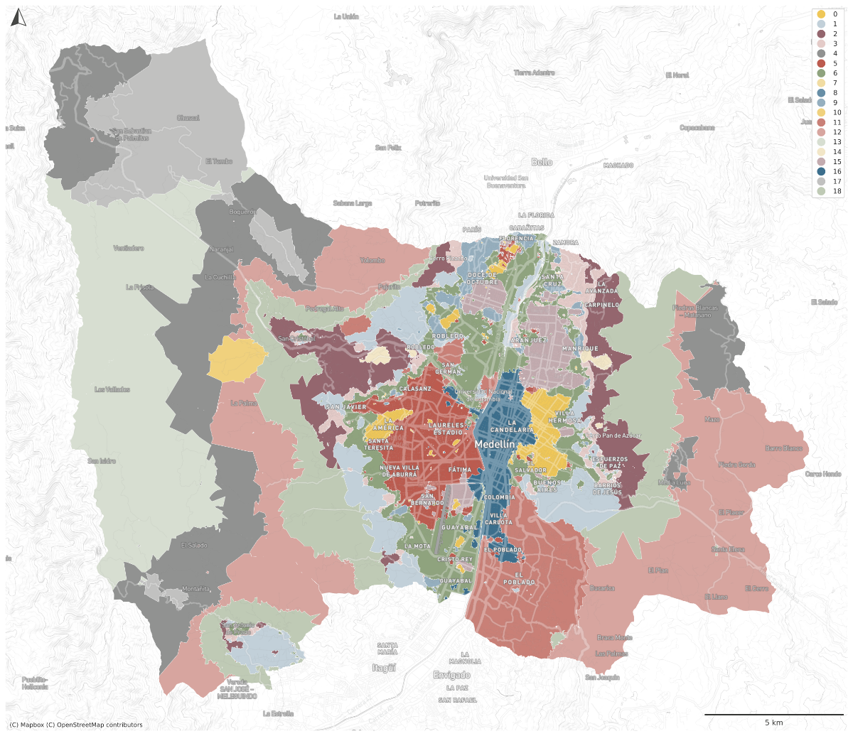
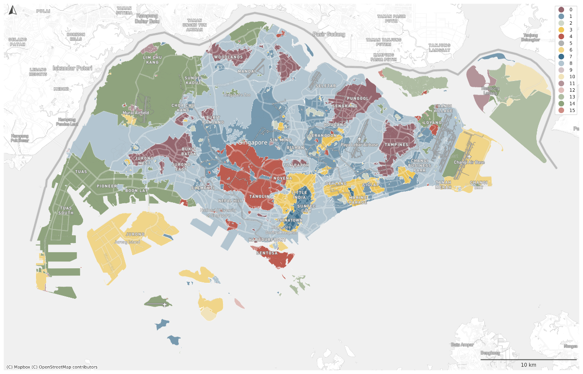
Barcelona
Houston | Medellin
Singapore | Dar es Salaam
Spatial Signatures
|
|
|
@darribas]
|
@martinfleis]
|
|
|
|
|